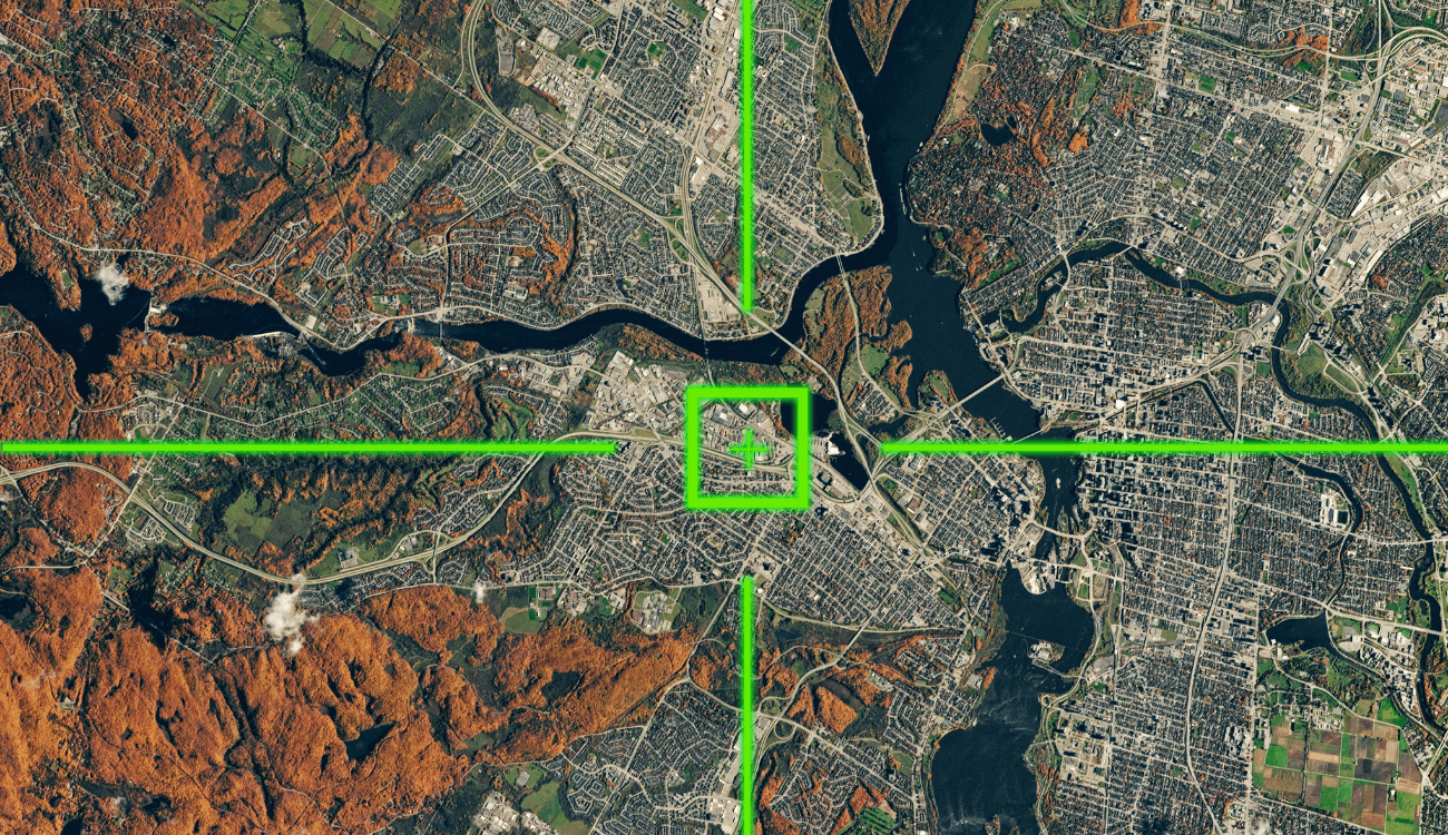

Geolocation of a content
Useful resources
- Google Lens is tool for searching images online and performing reverse searches to trace a photo’s origin.
- Chrome RevEye is a browser extension that lets you search for an image across multiple platforms (Google, TinEye, Yandex) with one click.
- InVID is a browser extension for verifying images and videos; it enables reverse image searches and extracts key frames from videos.
- Google Maps is a service offering map searches and street-level images.
- Google Earth is a tool for analyzing virtual images of Earth using satellite and aerial photographs.
OUR GUIDE
On social media, we often come across photos or videos that grab our attention. Many times, however, these images circulate online without clear spatial or temporal references, leaving us without a proper context for what we’re seeing. Other times, such references are present but incorrect, leading to disinformation.
To avoid falling into these traps, this article will teach you critical approaches and online tools to determine when and where an event captured in a photo occurred, helping you become more aware of what you see while scrolling through your social media feed.
Questions to ask yourself
As highlighted in the Verification Handbook, a guide that explains how to verify news and counter information manipulation, it’s essential to adopt a critical approach when encountering photos or videos online by asking yourself some basic questions.
Do I know where this photo was taken? Am I aware of the exact date it was taken? Answering these questions enables you to contextualize an image shared across different platforms and avoid falling into the trap of disinformation.
It’s important to note that there’s no single method for geolocating social media content. For example, the steps required to analyze a photo differ from those for a video. However, the overall process remains the same: pay attention to details and use some free, widely accessible online tools.
Tools to use
Let’s look at a practical example of geolocation to demonstrate some of these techniques.
In June 2023, Facta analyzed a case of disinformation that is useful to examine in this context. A photo had gone viral on social media showing part of a viaduct that appeared to be on the verge of collapse. The accompanying caption claimed that the precarious structure was located along Naples’ ring road at the Corso Malta exit. Unsurprisingly, the content raised alarm among locals who regularly drove through that area.
To determine whether this claim was true, we first performed a “reverse image search”. This technique helps identify when a photo first appeared online, sometimes even revealing the exact date it was taken. Tools like Google Image Search, Yandex Image, and TinEye can assist in conducting such searches.
Through this method, we discovered that the image was originally published on a well-known television program’s website on October 3, 2018, with the caption: “Naples, ex SS162 viaduct.” According to the article, the photo was taken by a viewer who sent it to the program’s editorial team to report alleged maintenance issues with the road. Thus, it was not a photo from June 2023 but from five years earlier.
Once we established the temporal reference, we moved on to geolocating the photo to pinpoint its spatial context. A useful tool for this purpose is Google Maps, which allows users to search for and view maps and street-level images.
Using Google Maps, we observed that some elements in the photo – such as road signs and the surrounding landscape – did not match those at the Corso Malta exit of Naples’ ring road. However, based on the caption provided in the television program’s article (“Naples, ex SS162 viaduct”) and further exploration in Google Maps, we confirmed that the viral photo actually depicted a viaduct along the ex SS162 state road, still in Naples.
It’s worth noting that Google Maps images are not real-time but are frequently updated, with the capture date visible in the top-left corner of the screen.
Using traditional search engines, we also found that in 2019, Naples’ municipal infrastructure office had clarified that the visible feature in the photo was neither a structural failure nor a maintenance issue but rather “a standard junction between two structures.”
Through critical analysis and the targeted use of online tools, we concluded that the viral photo was a case of misinformation. This technique can be especially valuable during emergencies, where unverified information often spreads rapidly, and identifying the locations of incidents, natural disasters, or bombings can literally become a matter of life or death. We leave you with a video of another geolocation case from 2023, during the devastating earthquake that struck southern Turkey and northern Syria, resulting in over 1,200 fatalities.

